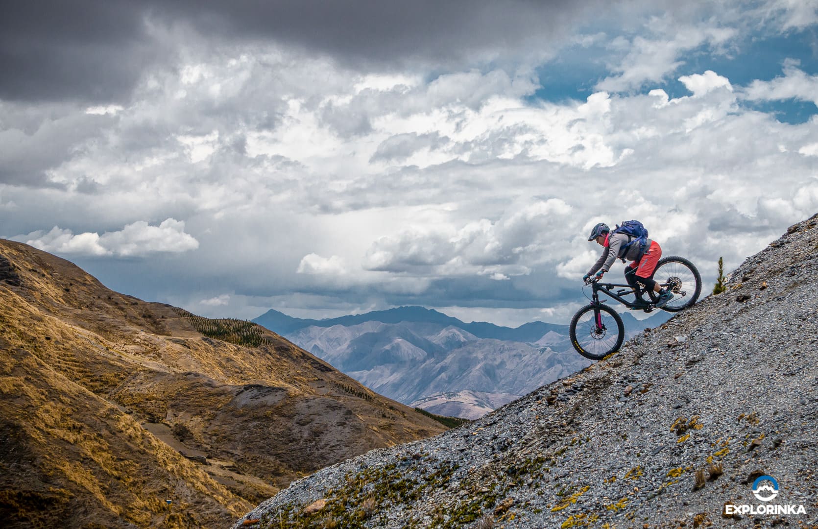
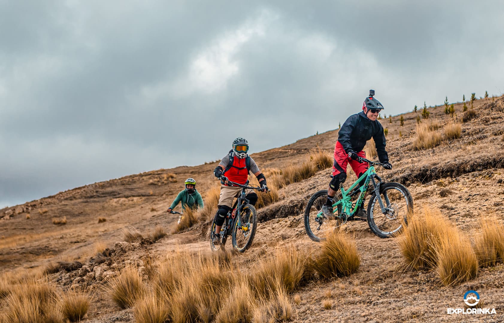
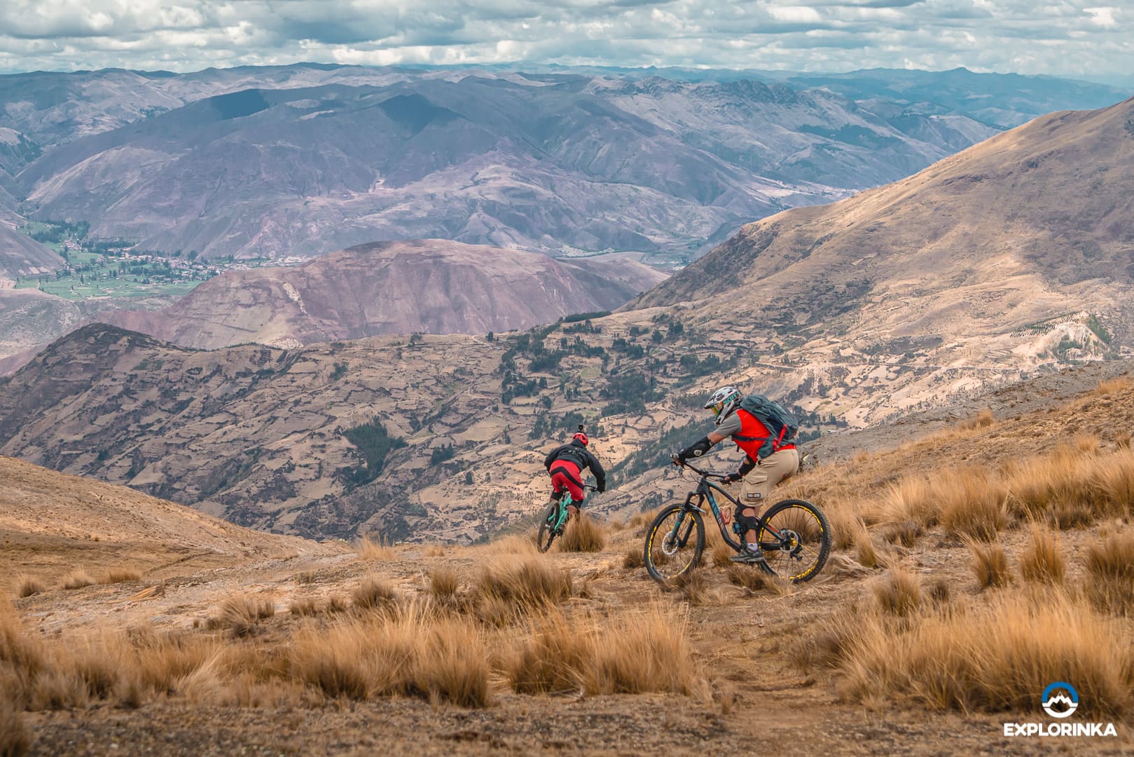
El Radar gets its name from the presence of a radar device at the top of the mountain, near the start of the trail. This trail is designed for mountain biking descent, whether it be enduro or downhill. The geography of the area is characterized by the absence of trees at the beginning, but as you descend, you'll encounter more vegetation and eucalyptus trees.
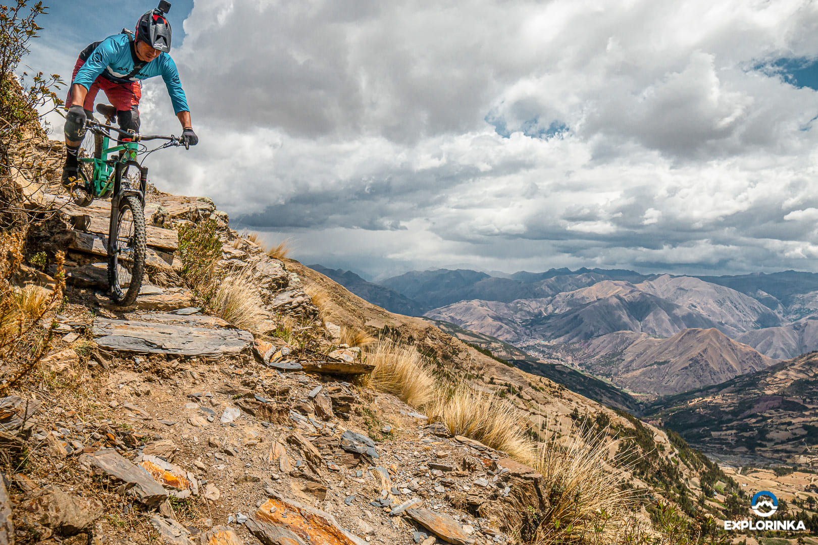
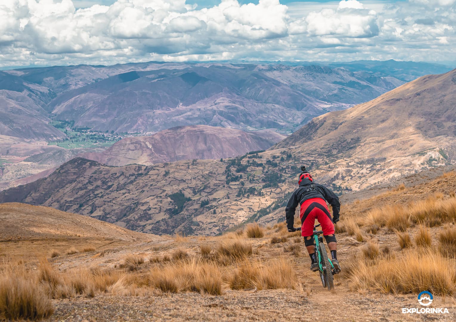
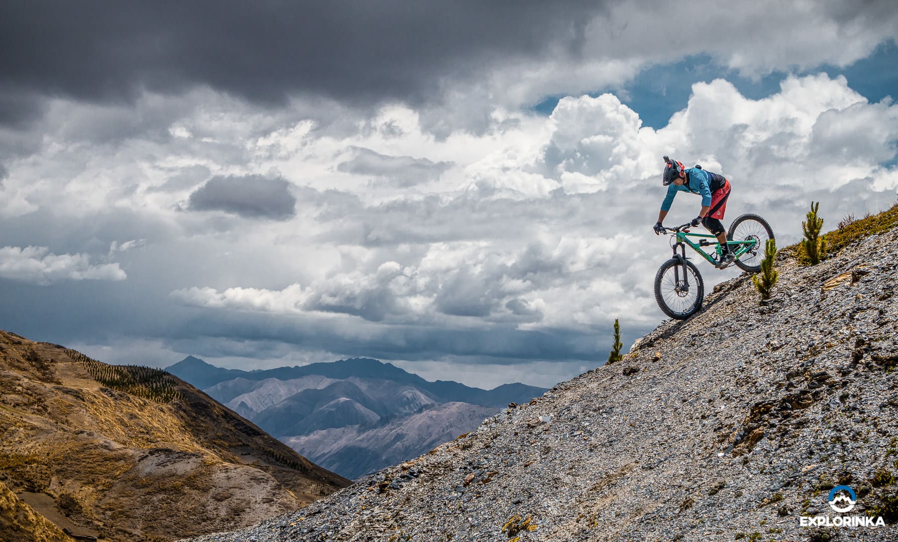
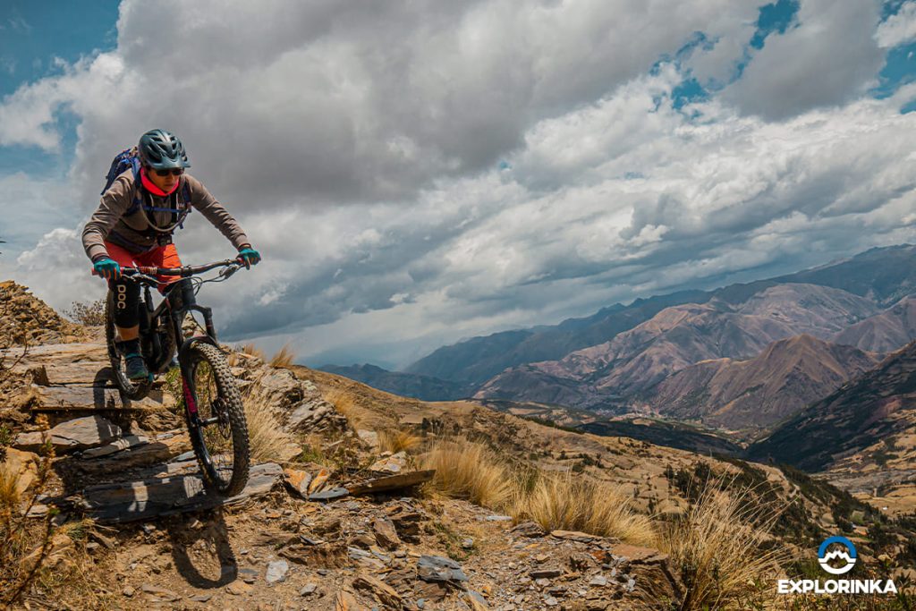
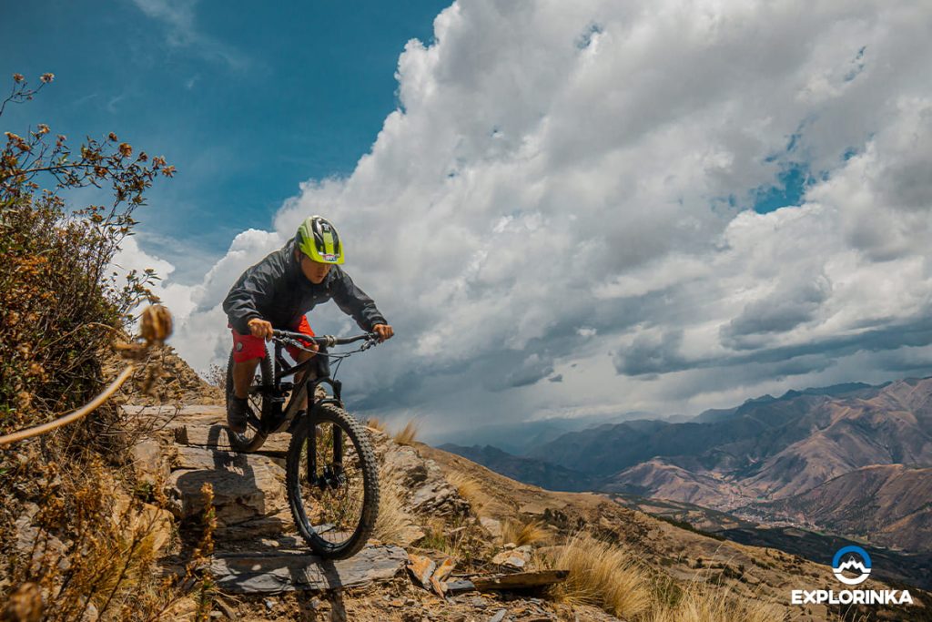
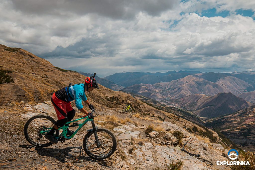
As for the terrain, you'll come across vast rocky areas that add an extra thrill to the adventure. Additionally, there are flowing sections where you can unleash all your adrenaline. You will also find vertical drops and natural berms in certain parts of the trail.
Overall, this circuit is quite smooth, and with its 10 km length, it guarantees unmatched fun in the southern region of Cusco.
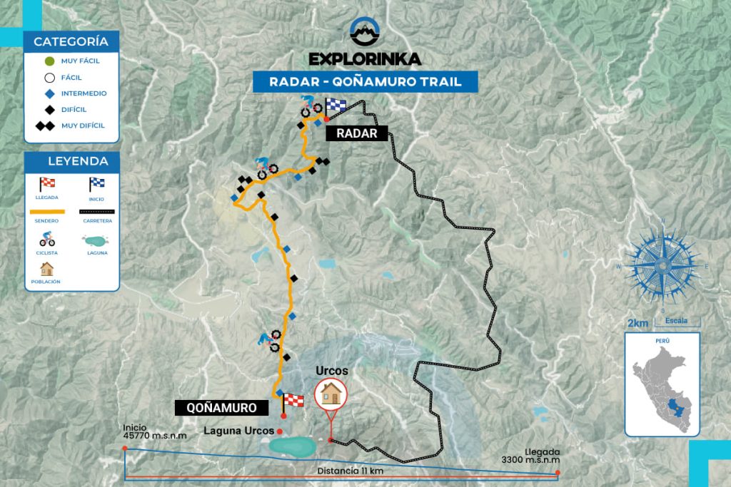
The trail is 10 km long, starting at an altitude of 4,529 meters above sea level and ending at 3,326 meters, with an elevation drop of 1,204 meters, offering an exciting downhill experience.
To ride down the Radar trail, an intermediate skill level is required. You should be ready to face vertical descents, rocky sections, and step-like features. Confidence in your mountain biking skills is crucial to enjoy and safely complete the ride.
The weather in Cusco is generally dry between May and September, while the rest of the year, especially from October to April, sees heavy rains. It's important to consider the time of year when planning to ride this trail. Additionally, keep in mind the temperatures in the area, as at over 4,000 meters above sea level, it can get quite cold. We recommend always carrying a jacket or at least a windbreaker for your bike descent on the Radar trail.
The trail is a singletrack, known in Spanish as an ancient mule path historically used for transporting goods between nearby communities. Even today, many locals use this path to move their animals. However, local cyclists have adapted some sections for mountain biking, turning it into an exciting route.
The trail is located at the Coyuni Pass, along the Interoceanic Highway that leads toward Brazil. There is no bus that takes you directly to the trailhead, so you’ll need to rent a private vehicle. You must take a detour when you reach the Pass to start your descent. If you prefer to avoid the logistics of planning the trip, feel free to consult us, and we’ll take care of everything so you can focus solely on enjoying the ride.