Site Map

CORN ROUTE TRAIL

Altitude
2972 - 2972 m.a.s.l.
Unevenness
200 m.
Distance
60 km
Difficulty
Easy
Type Route
Road

What is the corn route trail like?

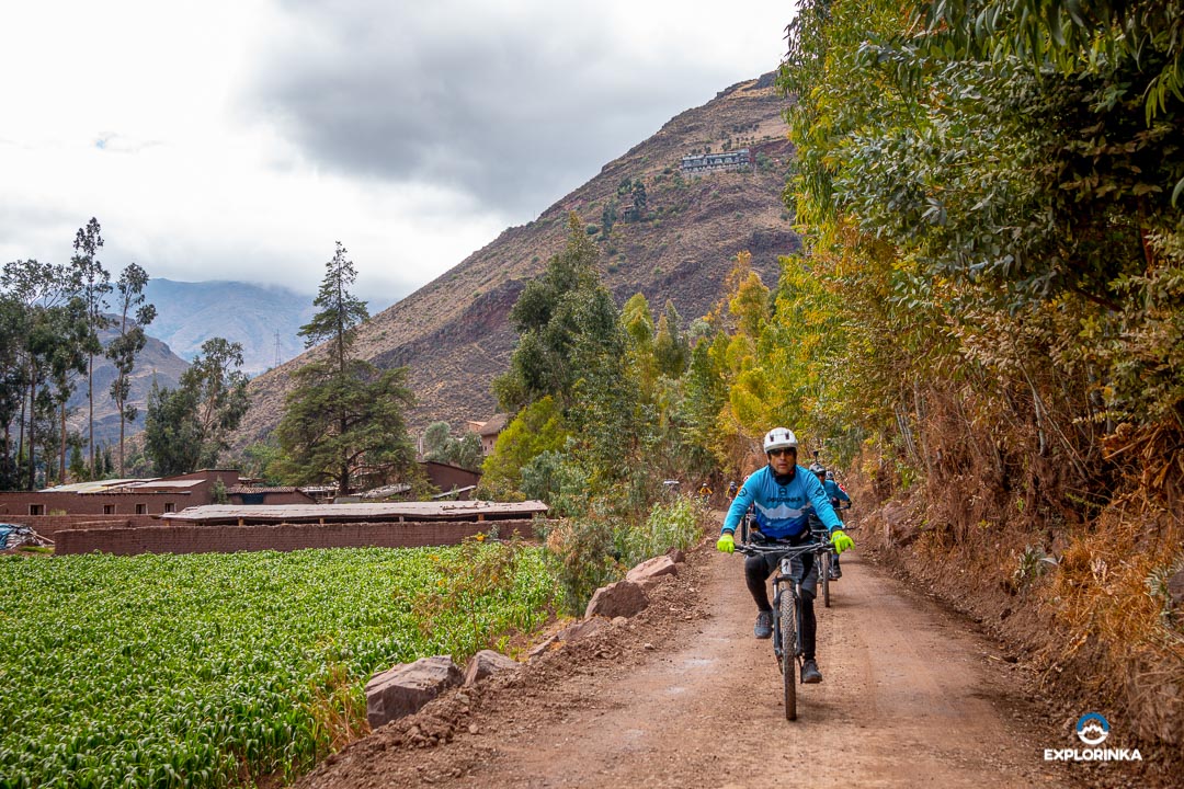
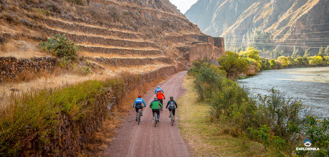
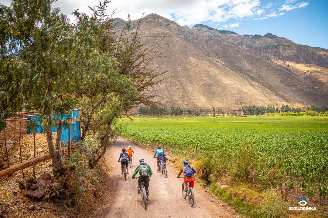
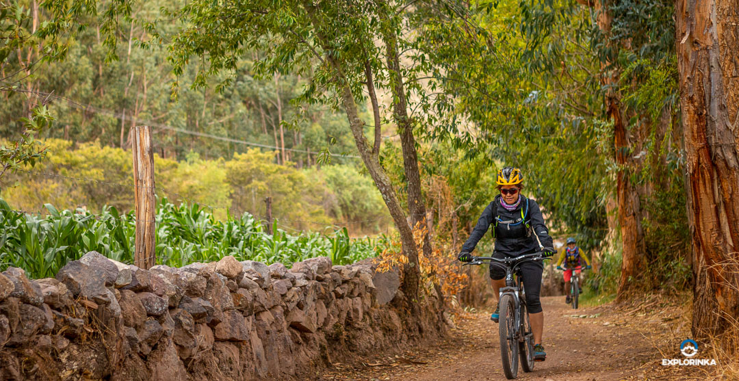
It is a road type trail, a shared road with cars and bicycles. It is not very common to see cars in this area, but you must be careful while pedaling. The terrain is not hilly at all, on the contrary, it is very well maintained. Almost the entire route is flat, there are areas where the incline varies but it is very little.

How far is the corn route?

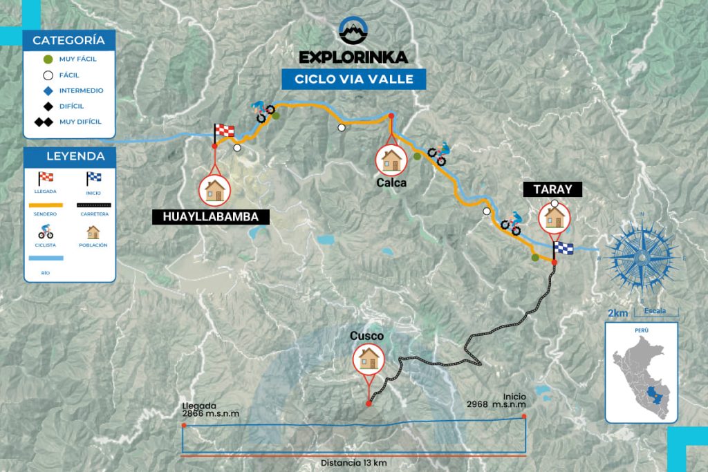
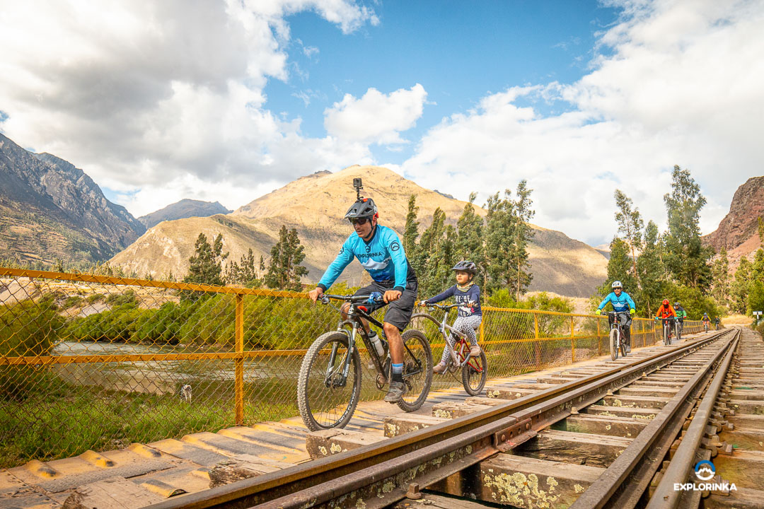
The entire route has an approximate distance of 60 km, starting in the town of Taray and ending in Ollantaytambo.

What level should i have for the corn route?

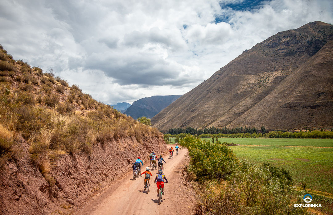
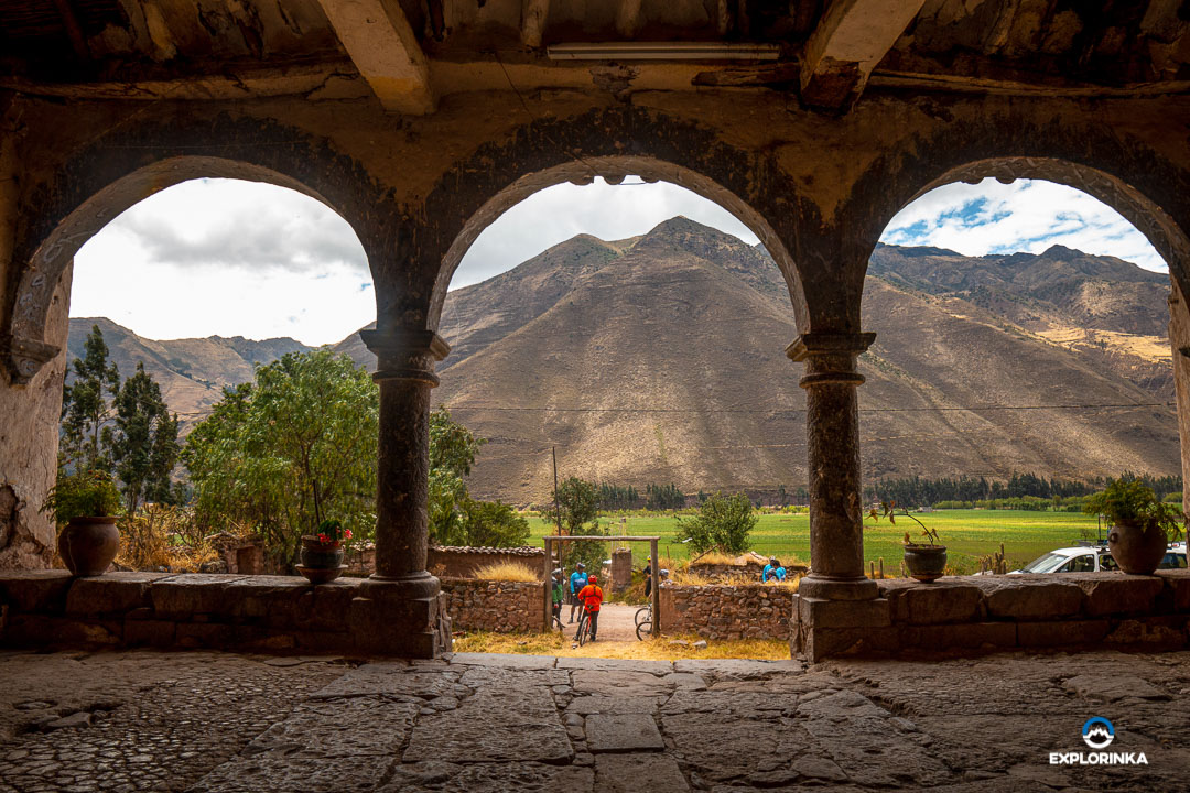
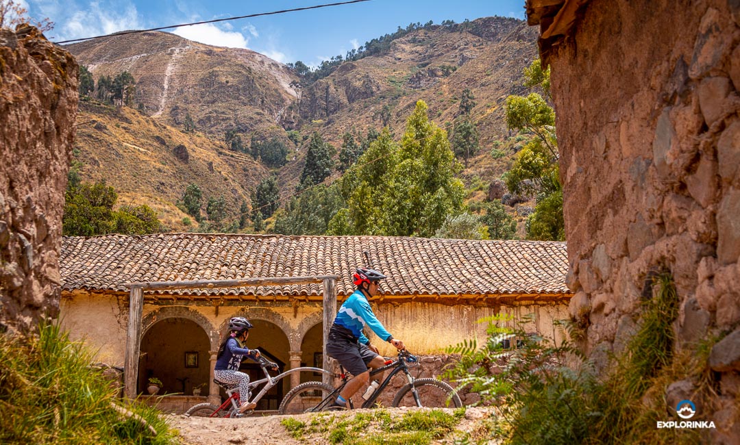
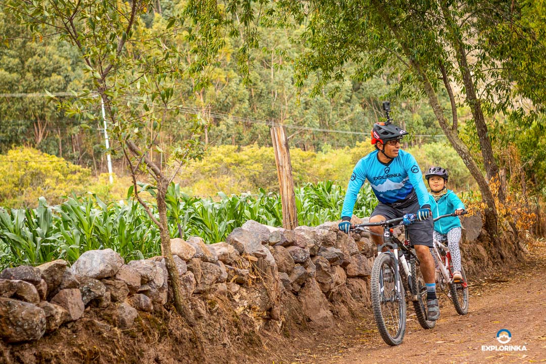
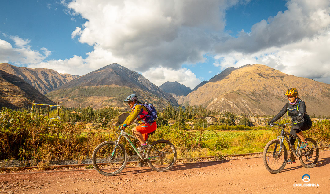
If you are a beginner, this route is perfect for you. It is designed to enjoy the pedaling and the landscapes of the Sacred Valley of the Incas.

How to get to the corn route?

First you have to find the Puputi bus terminal, where you will take a car to the town of Pisaq. The trip takes approximately 45 minutes. Once in Pisaq you will find the main bridge, when you cross it you will see a street that leads to the town of Taray, follow the street until you reach a small square. Once there follow the instructions of the Gps.


Height
2972 - 2972
Unevenness
200 m.
Distance
60 km
Difficulty
Easy
Type Route
Road

Community involved in the route:

Rumichaca
Rumichaca, located at 2900 meters above sea level near Urubamba, offers lodging and food services as its main tourist activities.
Location
Cusco - Urubamba
Altitude
2900 masl
Rainy Months
November to March
Temperature
Max. 22°C, Min. 5°C

The community of Rumichaca, situated just 15 minutes from Urubamba, has shifted its economy from an agricultural base to a focus on tourism, offering lodging and food services to foreign visitors. With urbanization and growing tourism demand, local families, like Mrs. Jesús's family, have found new opportunities to improve their quality of life through community-based tourism.

GALLERY

CONTACT US
Corn Trail
FORM TOURS EN
checkmark-circle