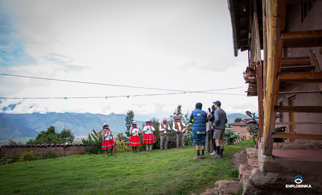
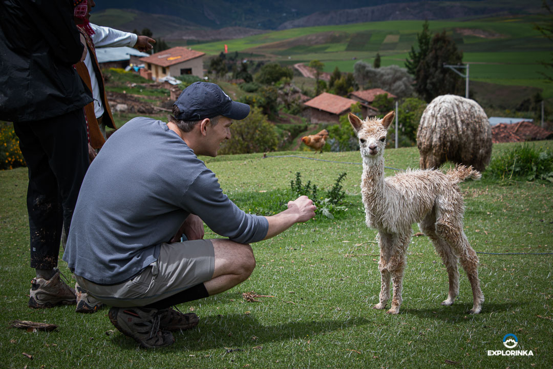
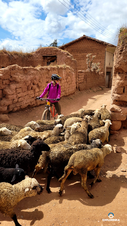
La comunidad de Mullakas Misminay, ubicada en el distrito de Maras, cerca del centro arqueológico de Moray, se destaca por su agricultura y la crianza de animales menores. Recientemente, sus comuneros se han organizado para ofrecer servicios de turismo vivencial a aquellos visitantes que deseen experimentar la cultura andina de una manera auténtica.
Entre los principales servicios que Misminay Ofrece, los pasajeros pueden disfrutar de alimentación (desayuno, almuerzo y cena) y hospedaje en instalaciones locales. Además, nuestros pasajeros tienen la oportunidad de participar en actividades como la construcción de adobe, paseos con llamas y la siembra o cosecha de productos agrícolas.
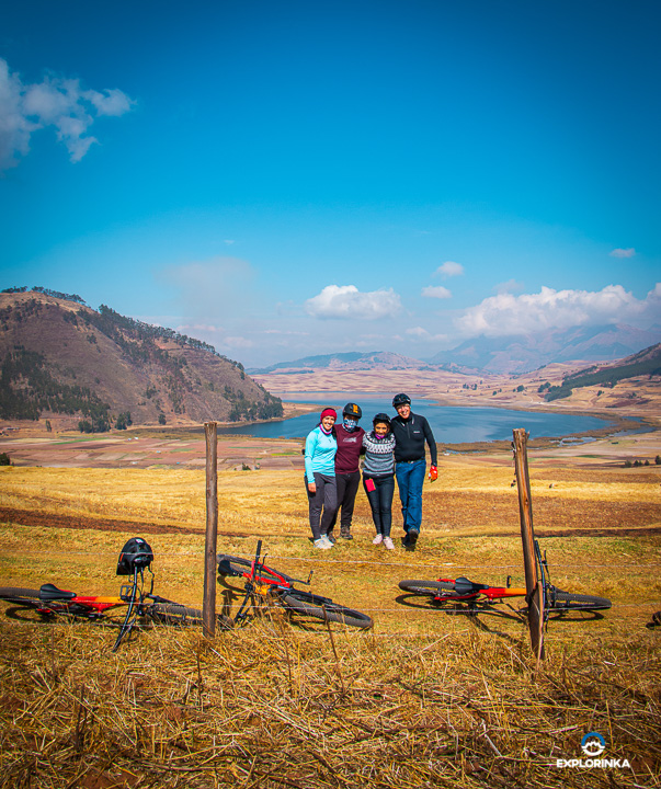
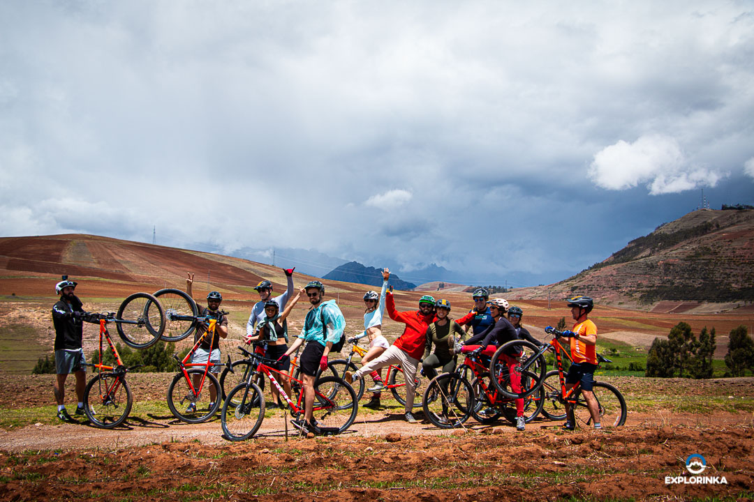
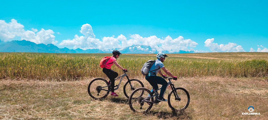
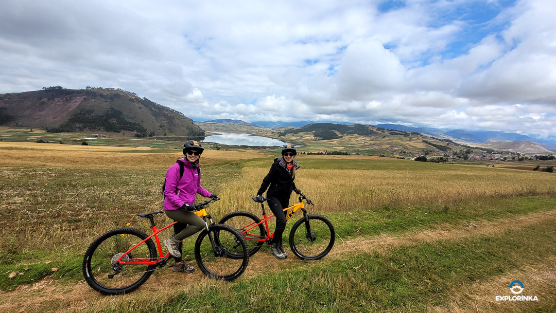
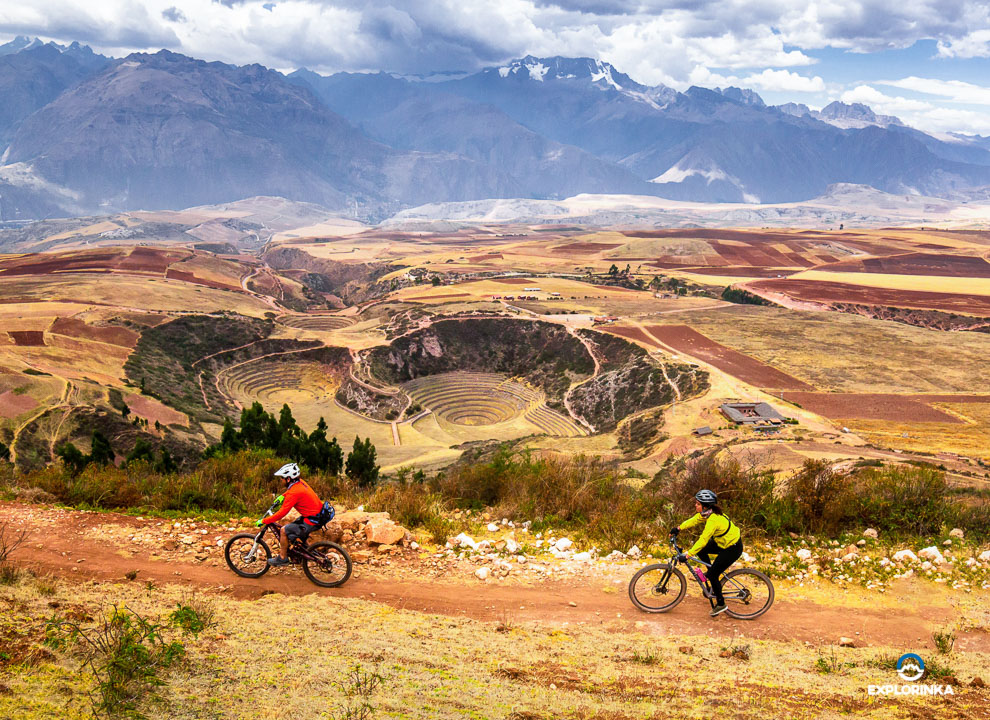
Actualmente, Explorinka colabora con dos familias de la comunidad de Misminay, brindando sus servicios a nuestros pasajeros ciclistas.