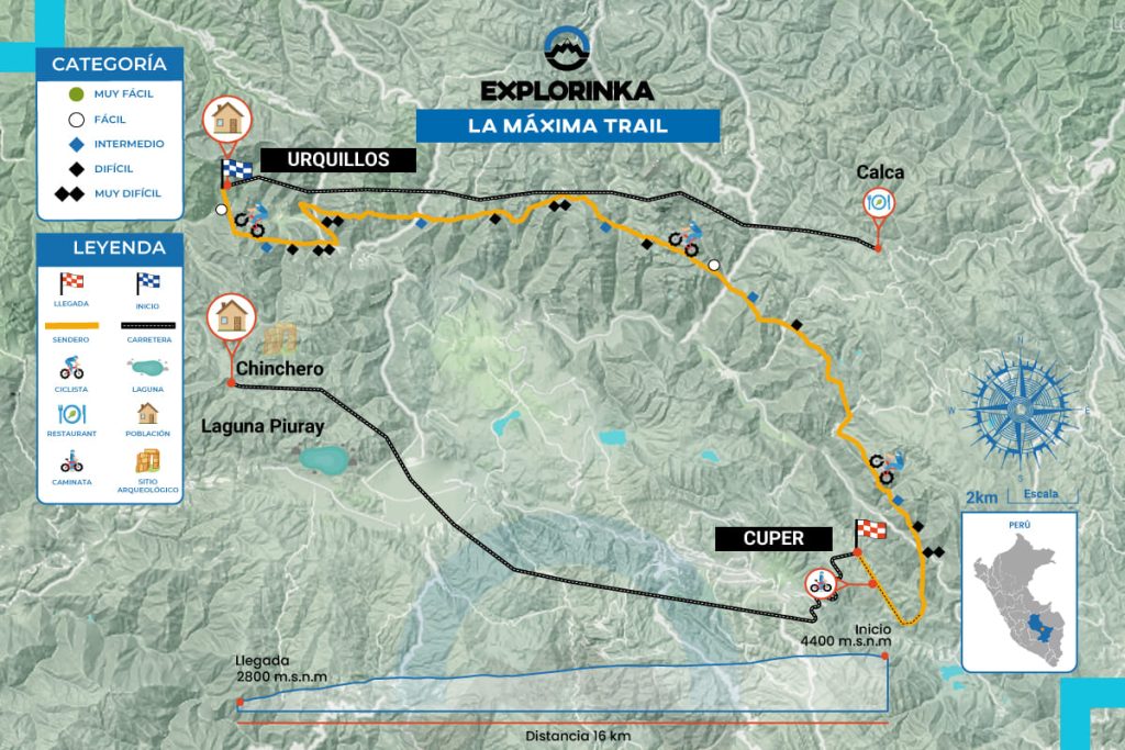
Site Map

THE ULTIMATE ENDURO TRAIL

Height
2967 - 4000
Unevenness
+216 / -1751 m.
Distance
11.2 km.
Difficulty
Advanced
Type Route
Enduro Singletrack

What is the Maxima Enduro trail like?

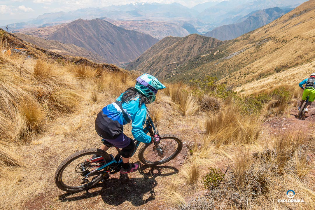
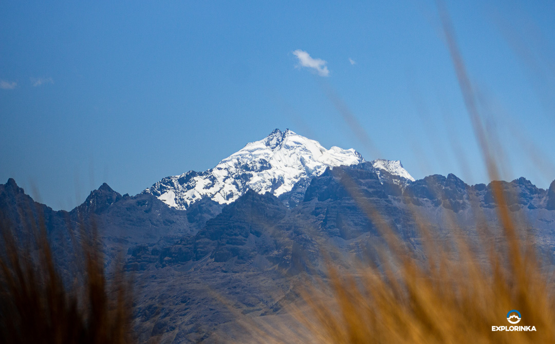
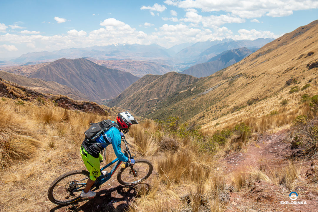
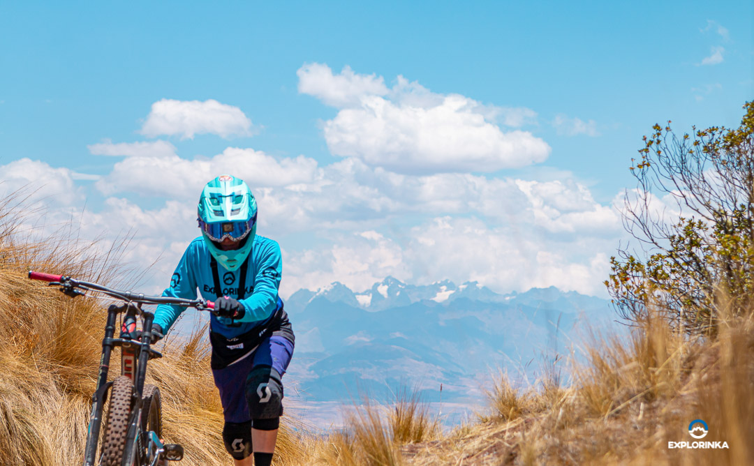
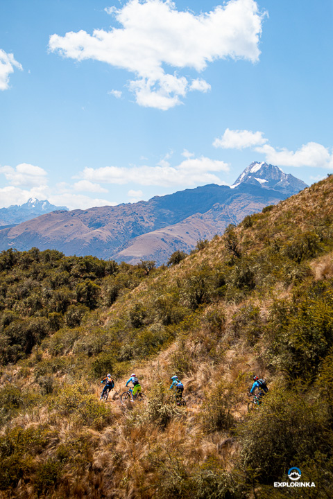
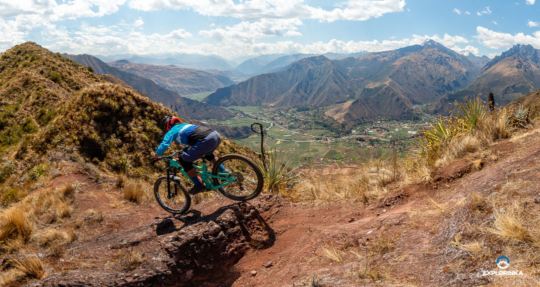
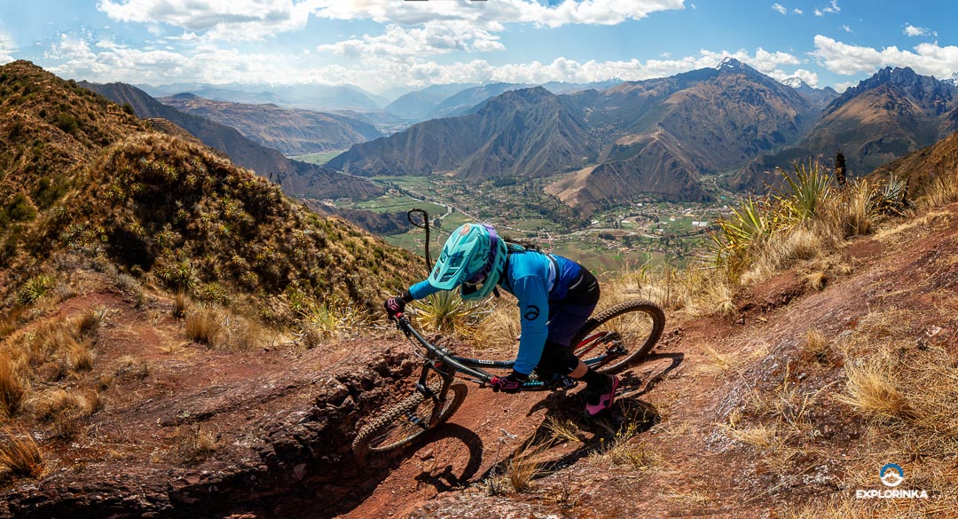
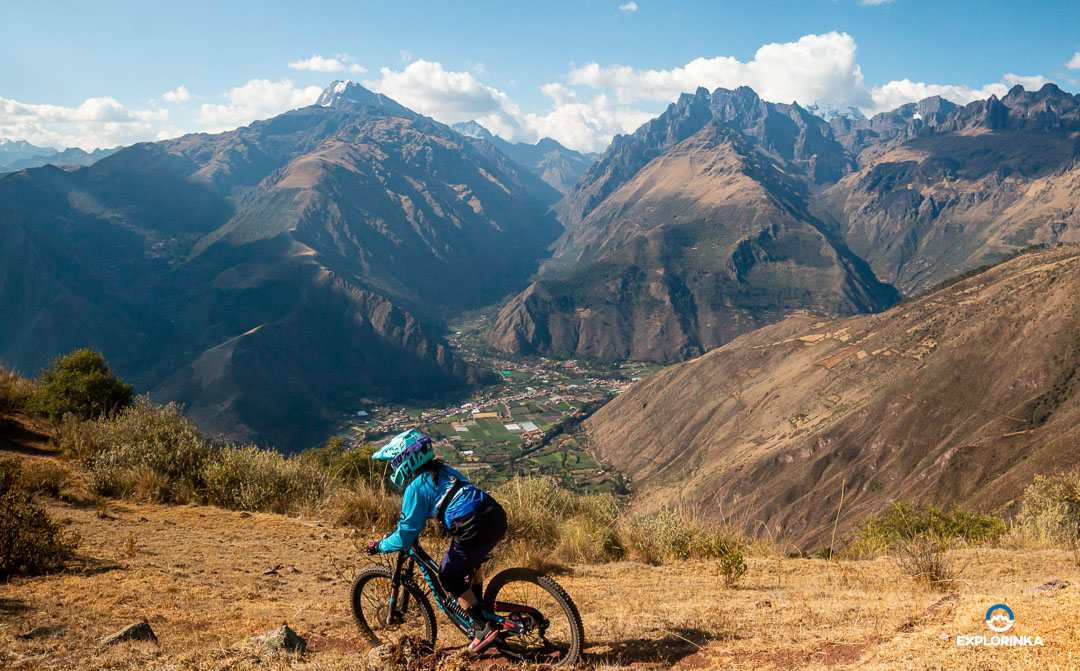
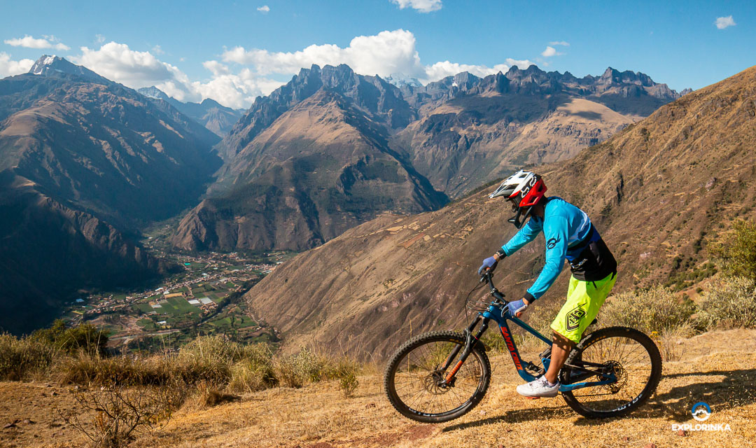
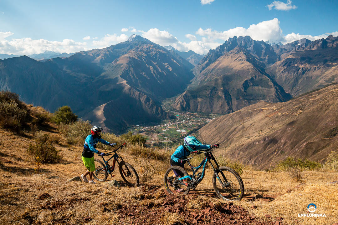
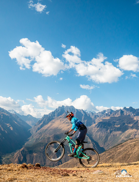
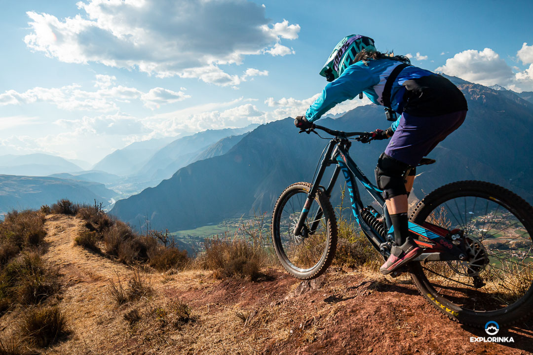
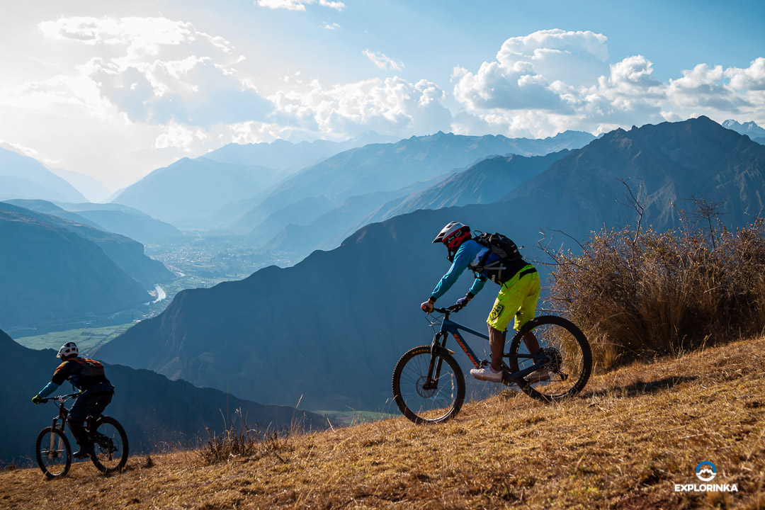
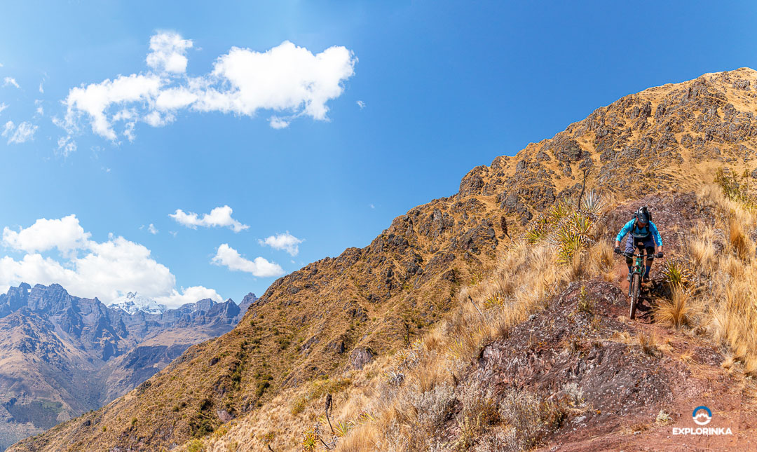
The Ultimatum is an enduro circuit, so called because you will reach 4000 meters above sea level and have a breathtaking view of the snow-capped mountain range. The trail has a little bit of everything, you will find high speed sections and technical sections with curves and loose terrain.

You will start in an open area between mountains in the direction of the sacred valley, pass through Queuña forests and enter a canyon where the descent becomes intense and invites you to release the brakes and reach high speeds.  

What is the distance of the Enduro trail Maxima?

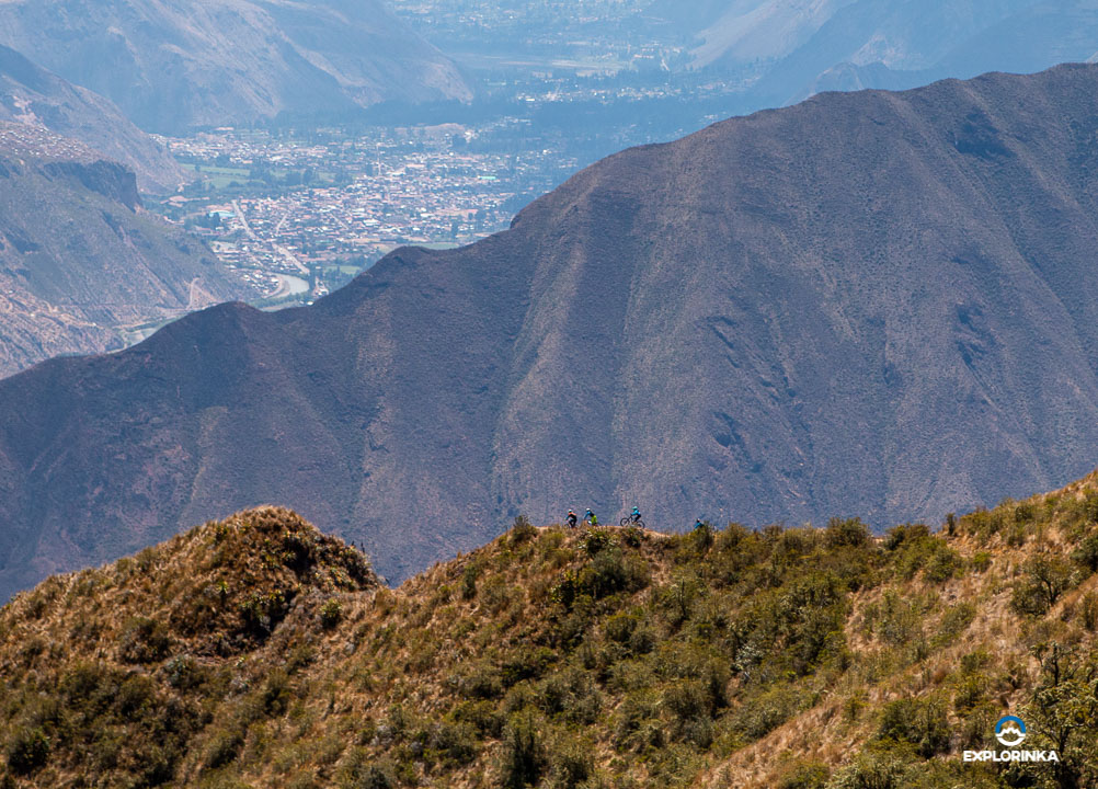
Its distance is 11.2 km enough for you to have fun. You can add 4 km more if you want to get the best view of the sacred valley. It is to climb a slope with a positive slope of 250 meters, you will arrive at an incredible viewpoint where you can appreciate a panoramic view of the entire valley, for us it is worth a lot, although it demands a little more effort.

What level do i need to have to ride the Maxima Enduro trail?

We recommend an advanced level due to its characteristics when descending. Also, consider that your physical condition is adequate, because you will reach heights of 4000 meters above sea level, we recommend acclimatization before descending this circuit.

What is the weather like on the Maxima Enduro trail?

The weather from May to December is normally dry, although it may rain some days, which is very rare. In the months of December until the beginning of May it rains a lot because it is seasonal. Even so, the weather can sometimes be unpredictable, always carry an easy to store windbreaker just in case.


GALLERY

CONTACT US
La Maxima Trail
FORM TOURS EN
checkmark-circle