The Sacred Valley is the perfect place for cycling. Its geography, incredible landscapes, and tourist sites that you can visit along the way make this location the best choice.
However, some routes are better than others. Here we present the best routes for cycling.
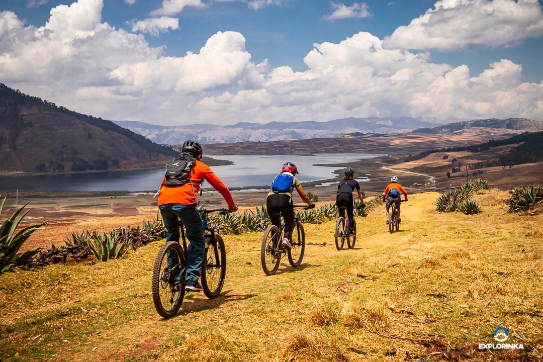
The Maras Moray bike route is an adventure that combines incredible landscapes, history, and culture of the city.
It is divided into two parts. The first starts in the town of Chichero on the road, leading us to the Huaypo Lagoon lookout, our first rest stop. We continue pedaling for about an hour past the towns of Cruzpata and Misminay, where we'll have an incredible view of the archaeological complex of Moray, our next destination.
In Maras, 10 minutes from Moray, begins the second part of the journey, a descent to the community of Pichingoto in the town of Tarabamba. This trail is narrower and has a high-speed downhill section with many stones on the path.
It is best to travel the route in the dry season, as the route can have slippery sections due to the clay soil.
General information
| Altitude | 2843–3758 m.a.s.l. |
| Elevation change | +203 m / - 1106 m |
| Distance | 30.3 km |
| Difficulty | Easy |
| Route type | Road |
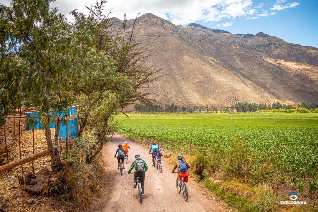
The Corn Route is a trail that crosses the entire Sacred Valley parallel to the Vilcanota River. Along this route, you can see a large amount of corn crops, hence its name.
On the way, you will pass through various towns such as: Pisac, Coya, Lamay, Urquillos, Huayllabamba, Yucay, Urubamba, Ollantaytambo, and more; where you can observe the landscape and enjoy their traditions.
The terrain is not rugged, as it is mostly flat, and the slope does not vary much. This route is perfect for any cyclist who wants a leisurely ride while watching the corn crops.
On this route, it is not very common to find cars, but caution is always recommended. Stay on your right!
General information
| Altitude | 2972–2972 m.a.s.l. |
| Elevation change | +200 m |
| Distance | 60 km |
| Difficulty | Easy |
| Route type | Road |
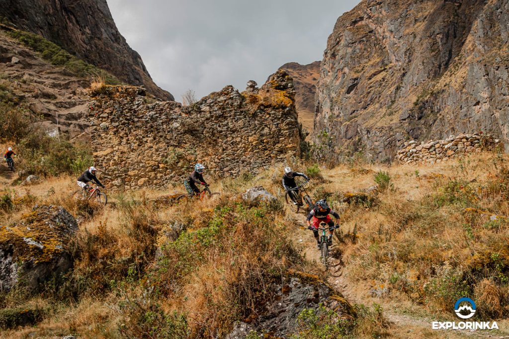
Undoubtedly, the Inca Avalanche Route should be among the best bicycle routes found in the Sacred Valley. The route starts at an altitude of 4200 m at the place known as Abra Málaga, with an average temperature of 10 °C.
The Inca Avalanche offers a complete journey with sections of wet terrain, frequent and steep curves, requiring intermediate experience at every segment. You will also find ramps with almost 2 m of distance, and the drops that increase adrenaline while riding.
Be aware that this route has sections where you will cross roads with vehicular traffic, so it is recommended to be very cautious when approaching the road to avoid accidents.
General information
| Altitude | 2880 - 4300 m.a.s.l. |
| Elevation change | -1547 m / +128 m |
| Distance | 12.6 km |
| Difficulty | Advanced |
| Route type | Single Track |
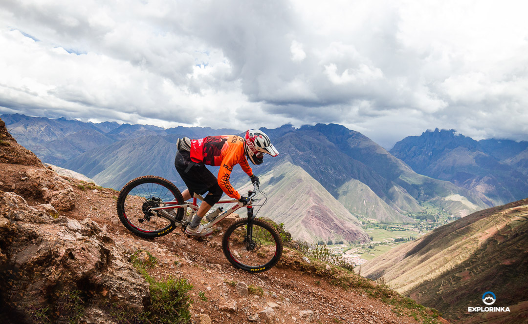
This trail is undoubtedly perfect for mountain biking, considered one of the highest in the world, making it a challenge for all cyclists.
We start at the Yanamayo pass at over 4000 m of altitude, which involves good physical condition because the length is almost 30 km.
The terrain is not rugged; however, some sections have loose stones and mud with moss that can make the route more difficult.
General information
| Altitude | 2792 - 4300 m.a.s.l. |
| Elevation change | +330 / -1508 m |
| Distance | 30 km |
| Difficulty | Intermediate |
| Route type | Single Track Enduro |
The classic Lamay route is a mountain of adrenaline, with sections that will require all the cyclist's technique. This path is still used by the community members to transport their products.
It doesn't have much descent, and you will encounter Inca stairs with steps up to 30 cm high in some places. If your cycling level is intermediate, this route is completely for you.
General information
| Altitude | 2941 - 4300 m.a.s.l. |
| Elevation change | + 1359 m |
| Distance | 13.5 km |
| Difficulty | Intermediate |
| Route type | Single Track |
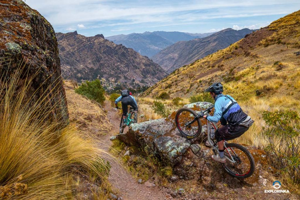
As its name suggests, this route is La Máxima, at an altitude of 4000 m, you will be able to have an incredible view of the mountain range surrounding the trail.
In this route, you will find everything, sections of high speed, tight turns, and terrains where you will have to use all your skills. The descent is full of adrenaline that will take you to maximum speed.
Keep in mind that this route is only for experienced cyclists and it is absolutely necessary to do it in the company of others, never alone.
General information
| Altitude | 2967 - 4000 m.a.s.l. |
| Elevation change | +216 / -1751 m |
| Distance | 11.2 km |
| Difficulty | Advanced |
| Route type | Enduro Singletrack |
Here are the recommendations you should consider for your bike trip.